

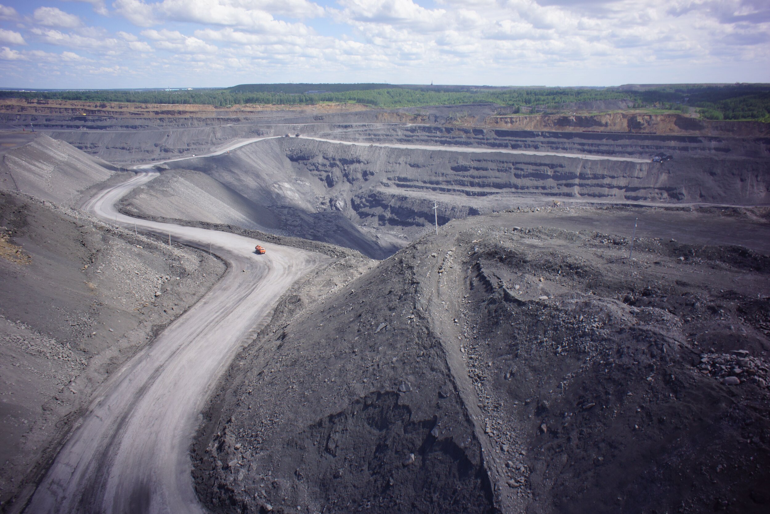
Mining & Natural Resouces


Automated drone solutions for mines
XM2 EARTH provides critical information in the following areas:
Stockpile volumes and end-of-month reconciliation
Terrain mapping and change detection
Asset management and scheduling
Situational awareness and emergency response
Infrastructure and equipment inspection
Security and surveillance.


Stockpile Inventory
Management
Stockpile Reports
Automatically measure and record stockpile inventor
Infrastructure Inspections
Conduct critical inspections quickly and efficiently.
Elevation & 3D Models
Create, analyze, and take measurements on elevation maps and 3D models.
Safety & Compliance
Manage safety and maintenance issues while complying with
